-
Ruby Dam
River Mile: 45
- Directions: 7 miles south of
Alder on the Ruby Dam Road.
-
Vigilante
River Mile: 44
- Directions: 6 miles south of
Alder on the Ruby Dam Road.
-
Coy Brown Bridge
River Mile: 41
- Directions: 4 miles south of
Alder on Ruby Dam Road, then west on Hinch Creek
Road to the bridge.
-
Alder Bridge
River Mile: 38
- Directions: At Alder, take the
Ruby Dam Road south, then turn west on Judy Lane at
school house. Follow road to river.
-
Ruby Island
River Mile: 37
- Directions: At Alder, take the
Ruby Dam Road south, then turn west on Judy Lane at
school house. Follow road to river.
-
Silver Springs Bridge
River Mile: 19
- Directions: 3 miles west of
Sheridan on Silver Springs Road.
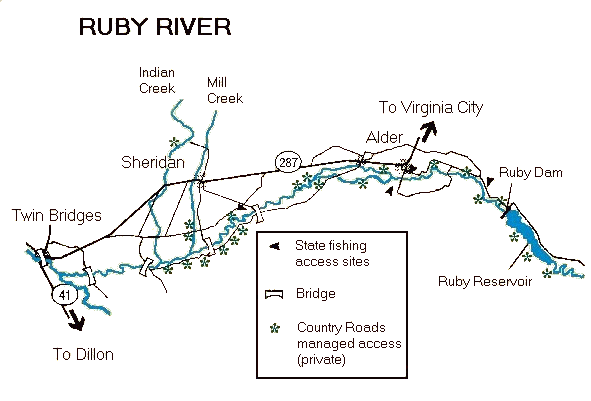
NOTE:
All river Fishing Access Sites (FAS)
are listed in descending order by river mile from
headwaters to mouth. The mouth of a stream is its
confluence with another body of water and is
considered mile 0.


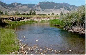 Beaverhead - Deerlodge
National Forest between the Gravelly and Snowcrest
mountain ranges. Fourteen miles downstream it veers
gradually west to run alongside the Ruby Range and into
Ruby River Reservoir, which was built in 1939 to store
irrigation water.
Beaverhead - Deerlodge
National Forest between the Gravelly and Snowcrest
mountain ranges. Fourteen miles downstream it veers
gradually west to run alongside the Ruby Range and into
Ruby River Reservoir, which was built in 1939 to store
irrigation water.